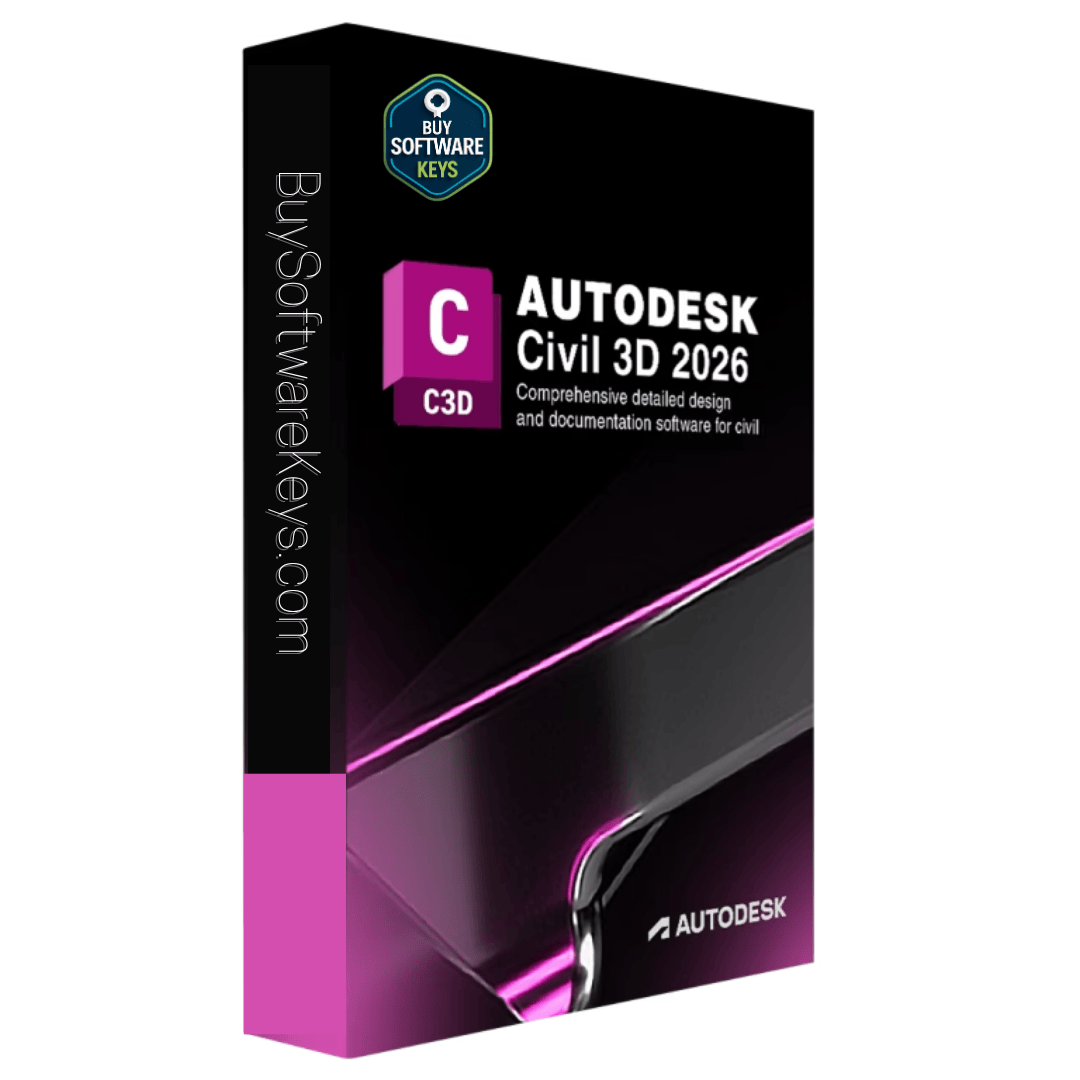


Buy Autodesk Civil 3d Exciting news for civil engineering and design enthusiasts! Explore Autodesk Civil 3D 2023-2026, a fantastic software solution tailored just for you. It’s perfect for land development, transportation, and infrastructure projects, and supports both Windows and Mac! With a One-Year Subscription License, you’ll enjoy the latest features and updates, keeping your projects at the cutting edge. Dive in and unlock new possibilities today! Autodesk Civil 3D – Key Features & Differences (2023–2026) Category Civil 3D 2024 Civil 3D 2025 Civil 3D 2026 Performance & Stability Enhanced performance for large projects, Project Explorer included by default Major performance boosts (open/save, corridor rebuild, surface regen) Further boosts with AutoCAD 2026 core, faster surface handling Corridors & Transitions Reorder transitions, lock transition lengths, API support Multi-baseline corridor setup, improved grip-editing Visual corridor review via new 3D Model Viewer Surfaces & Data References (DREF) No major changes New Surface Level-of-Detail control, multithreaded contour regen Partial surface referencing (polyline boundaries), selective surface usage Pressure Networks & Utilities Convert lines/arcs to pipes, merge networks, flip grips, better style control API support for utilities, enhanced editing Deeper drainage design integration Survey, GIS & Data Exchange ArcGIS Connector improved (style, geometry import) Vertical datums, Esri basemaps, cloud survey database Enhanced coordinate transformation & Construction Cloud integration Automation & Dynamo Expanded Dynamo API functions Big Dynamo upgrade (new nodes, better package management) More API improvements, integration with drainage & surfaces Unique Additions Project Explorer integrated, better subassembly linking Esri basemaps, coordinate system enhancements Drainage Analysis Extension (Tech Preview), 3D Model Viewer, My Insights Benefits & Why It’s Used Reduced rework and higher consistency Because the design model is dynamic, when you modify geometry (e.g. alignment, surface), related elements (profiles, cross-sections, corridors) automatically update. Faster design iterations & exploring alternatives You can test alternative alignments, grading schemes, or drainage layouts quickly, with feedback on volumes, slopes, and conflicts. Better coordination and collaboration Because of interoperability with GIS, Revit, InfraWorks and ability to exchange common formats, teams across disciplines can work more seamlessly. Improved documentation and deliverables Plan production is tied to the model, reducing manual drafting work and ensuring that drawings match the design. Scalable to large infrastructure projects It is widely used in civil engineering firms, highway agencies, and infrastructure projects for its ability to handle large datasets, alignment networks, utilities, and topography. Use Cases / Applications Civil 3D is applicable in many civil infrastructure and land development scenarios, such as: Road, highway, and intersection design Land subdivision, site planning, grading & earthwork Drainage systems, stormwater management, sewer design Rail and transit corridor geometry Utility and pipeline networks (gravity and pressure) Earthworks, cut/fill modeling and volume analysis Infrastructure coordination with architectural / structural models Preparing construction drawings, cross-sections, profiles, and reports
Related products